
Severe Weather Information
Today's Outlook:

|
Tomorrow's Outlook:

|
Day Three's Outlook:

|
Day Four To Eight's Outlook:

|
Go
back to top of page... |
| Other Severe
Weather Products: |
Current Severe Thunderstorm/Tornado Watches:

|
Current Mesoscale Discussions:
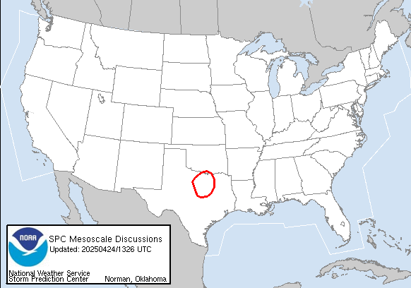
|
Go
back to top of page... |
Today's Storm Reports:

|
Yesterday's Storm Reports:

|
Go
back to top of page... |
| Current Infared Satellite Images |
Eastern United States:
 |
Western United States:
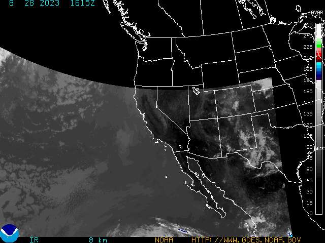 |
Go
back to top of page... |
| Current Visible Satellite Images |
Eastern United States:
 |
Western United States:
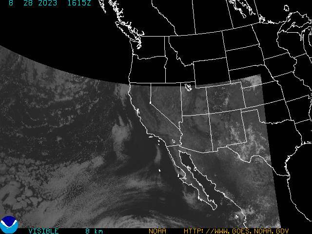 |
Go
back to top of page... |
| Current Water Vapor Satellite Images |
Eastern United States:
 |
Western United States:
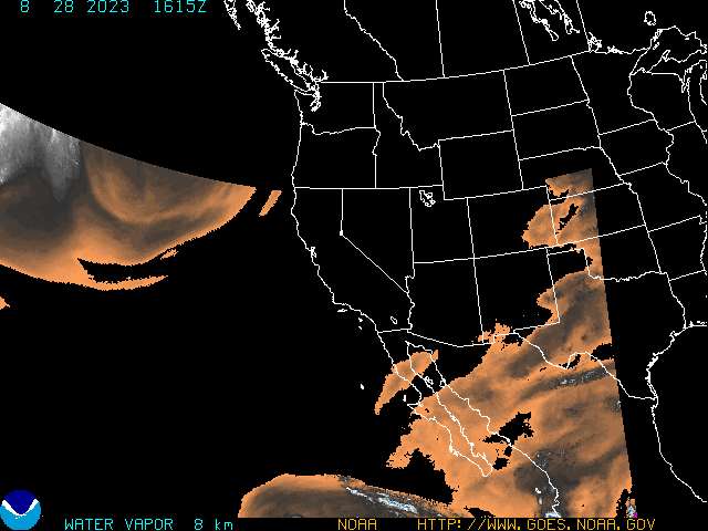 |
Go
back to top of page... |
| Current US Radar Composites: |
Northeast United States:
 |
Southeast United States:
 |
Central Great Lakes:
 |
Lower Mississippi Valley:
 |
Upper Mississippi Valley:
 |
Southern Plains:
 |
Northern Rockies:
 |
Southern Rockies:
 |
Pacific Northwest:
 |
Pacific Southwest:
 |
Go
back to top of page... |
| Current
National US Radar Composite: |
Go
back to top of page... |

| Current
US Surface Weather Map: |
Go
back to top of page... |

|
| |
